Quick answer
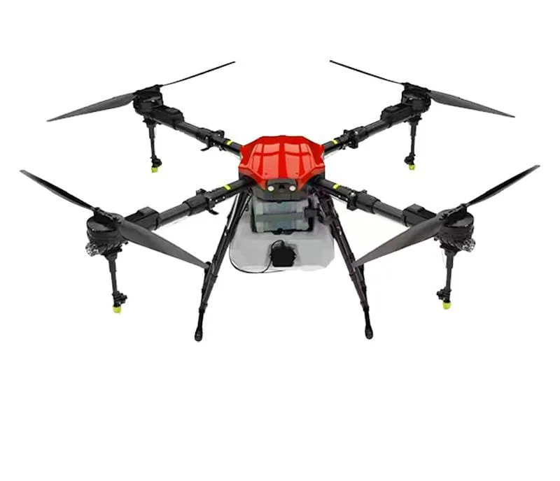
A multispectral drone has a camera that records specific light bands — usually green, red, red-edge and near-infrared. Software combines them into vegetation indices such as NDVI or NDRE, shown as colour maps of relative crop vigour. These maps highlight stressed zones early, but the cause must be confirmed in the field before treatment.
Key takeaways
- Near-infrared reflection is a strong signal of healthy leaf structure.
- NDVI works well for most crops; NDRE helps in dense, mature canopies.
- Calibration with a reflectance panel improves map consistency.
- Maps can guide zone-wise or variable-rate application.
How multispectral imaging works
Green leaves absorb red light for photosynthesis and strongly reflect near-infrared light. When a plant is stressed, this pattern changes — often before the leaf looks different to the eye. A multispectral camera records each band separately so the change can be measured.
What an NDVI map shows
On a typical NDVI map, greener colours show stronger vigour and red or yellow show weaker growth. The scale is relative — compare zones within the same field and date, not across very different crops.
| Index | Bands used | Best for |
|---|---|---|
| NDVI | Red + near-infrared | General vigour, mid-season comparison |
| NDRE | Red-edge + near-infrared | Dense or mature canopies, nitrogen status |
| GNDVI | Green + near-infrared | Chlorophyll variation |
Getting reliable maps
- Calibrate with a reflectance panel before each flight
- Fly around midday in steady light, avoiding patchy clouds
- Use the same height and settings for repeat flights
- Process with software that handles radiometric correction
Who it is useful for
Large farms and plantations
Zone-wise management across large areas where walking every row is impractical.
Vineyards and orchards
Finding weak vines or trees early and tracking recovery after treatment.
Research, seed production and FPO advisory
Comparing plots and treatments, and advising members based on maps.
From map to action
Mark the weak zones, visit them, confirm the cause and then decide the treatment. With compatible spraying drones, zone maps can be used for variable-rate application — more where it is needed, less where it is not — saving inputs and reducing unnecessary chemical use.
Mistakes to avoid when reading NDVI maps
- Comparing maps from different dates without calibration
- Assuming red zones are always disease — they can be soil, water or planting problems
- Reading bare soil between young plants as crop stress
- Treating a whole zone without ground-truthing first
- Comparing NDVI values across different crops as if they were the same scale
Multispectral drone vs RGB drone
An RGB drone captures normal colour images that are excellent for area measurement, gap detection and visible damage. A multispectral drone adds near-infrared and red-edge bands that reveal stress earlier and allow quantitative comparison across the field.
If your goal is mostly mapping and visible scouting, an RGB drone may be enough. If you need early detection, zone management or research-grade comparisons, a multispectral system is worth considering. Many service providers offer both, so you can start with a one-time survey before investing.
Building a zone management plan
After two or three seasons of maps, patterns often appear — some zones are consistently weaker because of soil type, drainage or history. Use these zones to adjust seed rate, fertiliser and irrigation. Combined with soil tests, a multispectral record becomes the base for precision agriculture on your farm.
Multispectral survey workflow
- Define the question — early stress, nitrogen status, zone mapping or trial comparison
- Choose timing by crop stage and plan repeat flights
- Calibrate, fly at a consistent height and time of day
- Process with radiometric correction and generate index maps
- Ground-truth the zones and record findings
- Plan treatments and track response in the next flight
Limits of multispectral data
Multispectral maps are powerful but not perfect. Cloud shadows, wet leaves, different sun angles and bare soil can all affect index values. Young crops with lots of visible soil can look 'stressed' simply because there is less leaf area. Interpreting maps well needs field knowledge, consistent flying and honest ground-truthing.
Treat a multispectral map as a guide to where to look and how areas compare, not as a final diagnosis.
Flying a multispectral survey legally
A multispectral drone is still a drone under the rules. Before a survey, confirm the drone is registered, the pilot is certified and the field lies in a permitted zone on the Digital Sky (opens in a new window) airspace map.
Frequently asked questions
What is a multispectral drone?
A drone with a camera that records several specific light bands, including near-infrared, to calculate crop health indices.
What does NDVI mean?
Normalised Difference Vegetation Index — a number calculated from red and near-infrared light that shows relative plant vigour.
Can NDVI detect disease?
It shows stress, not the specific cause. A field check is needed to identify disease, pests, nutrients or water issues.
Is a multispectral drone worth it for small farmers?
Usually it is most valuable on large areas. Small farmers can benefit through FPO or service-provider programmes.
What is the difference between NDVI and NDRE?
NDRE uses the red-edge band and stays sensitive in dense, mature canopies where NDVI can saturate.
How do I ask about a multispectral drone or survey?
Call 8282802150 with your crop, area and what you want to learn from the maps.
When is the best time to fly a multispectral drone?
Around midday in steady sunlight or consistent overcast, at crop stages where decisions matter, such as active growth or before flowering.
Do I need special software for multispectral maps?
Yes. Photogrammetry software with radiometric calibration is used to stitch the bands and calculate indices such as NDVI and NDRE. Service providers usually handle this for you.
About this guide
- Written by
- Kisan Drone team, Noida. We work with farmers, FPOs and drone operators on spraying, buying and training questions.
- Reviewed by
- Mohit Singh, Drone Operator — 10 years of drone-spraying experience
- Last updated
How we write
We do not publish invented prices, subsidy amounts, yields or reviews. Rules and schemes are checked against official sources, and anything that depends on your crop, product or location is marked as such. Found an error? Email enquiry@kisandrone.co.in.